
Update, October 30, midday: the Department of Hydrology and Meteorology says Cyclone Arnab weakened into a strong low-pressure system before it reached Nepal, and it expects the effects to ease from the afternoon of Saturday, October 31, with better weather from Sunday. Rain and snow continue through Friday night and Saturday. The advisories below stay in force until the agencies that issued them say otherwise.
This is a developing situation. Everything here reflects reporting as of October 30, 2026. Before moving in the mountains, check with your guide, your agency, and the official lines listed at the end. For helplines and embassy contacts, our help center keeps the full list.
Cyclone Arnab formed in the Bay of Bengal and hit the coast of Andhra Pradesh in India on Wednesday, October 28, where it killed at least five people and flooded farmland. By Thursday its remnants had crossed into Nepal. The system had lost most of its strength by then, but what remained is enough to push three days of rain across the hills and the Tarai and to lay snow on every trekking route above roughly 3,000 metres, at the busiest point of the autumn trekking season.
What the forecast says
The day-by-day picture from the Meteorological Forecasting Division, as reported by the Kathmandu Post on October 29 and 30:
| Day | Lowlands and hills | Mountains |
|---|---|---|
| Thursday, Oct 29 | Cloud, light rain in Koshi, Madhesh, and Bagmati from the evening | Heavy rain or snow likely in the Himalayan areas of Koshi, Bagmati, and Gandaki |
| Friday, Oct 30 | Moderate rain with thunder across Koshi, Madhesh, Bagmati, Gandaki, and Lumbini; heavy in a few places | Moderate to heavy snow, snowstorms and avalanche risk flagged for the high hills and Himalaya |
| Saturday, Oct 31 | Moderate rain at many places, very heavy possible at one or two spots in the central and eastern provinces; easing from the afternoon | Snow continues, then tapers |
| Sunday, Nov 1 | Improving, cold | Clearing, fresh snow on the ground |
The heaviest rain in the 24 hours to Friday morning was 50.2 mm at Roshi in Kavrepalanchok, east of Kathmandu. That is a wet day, not a flood. Maximum temperatures dropped across the country on Thursday, and forecasters expect the rain to push them lower still, so the first week of November will start colder than the November norms.
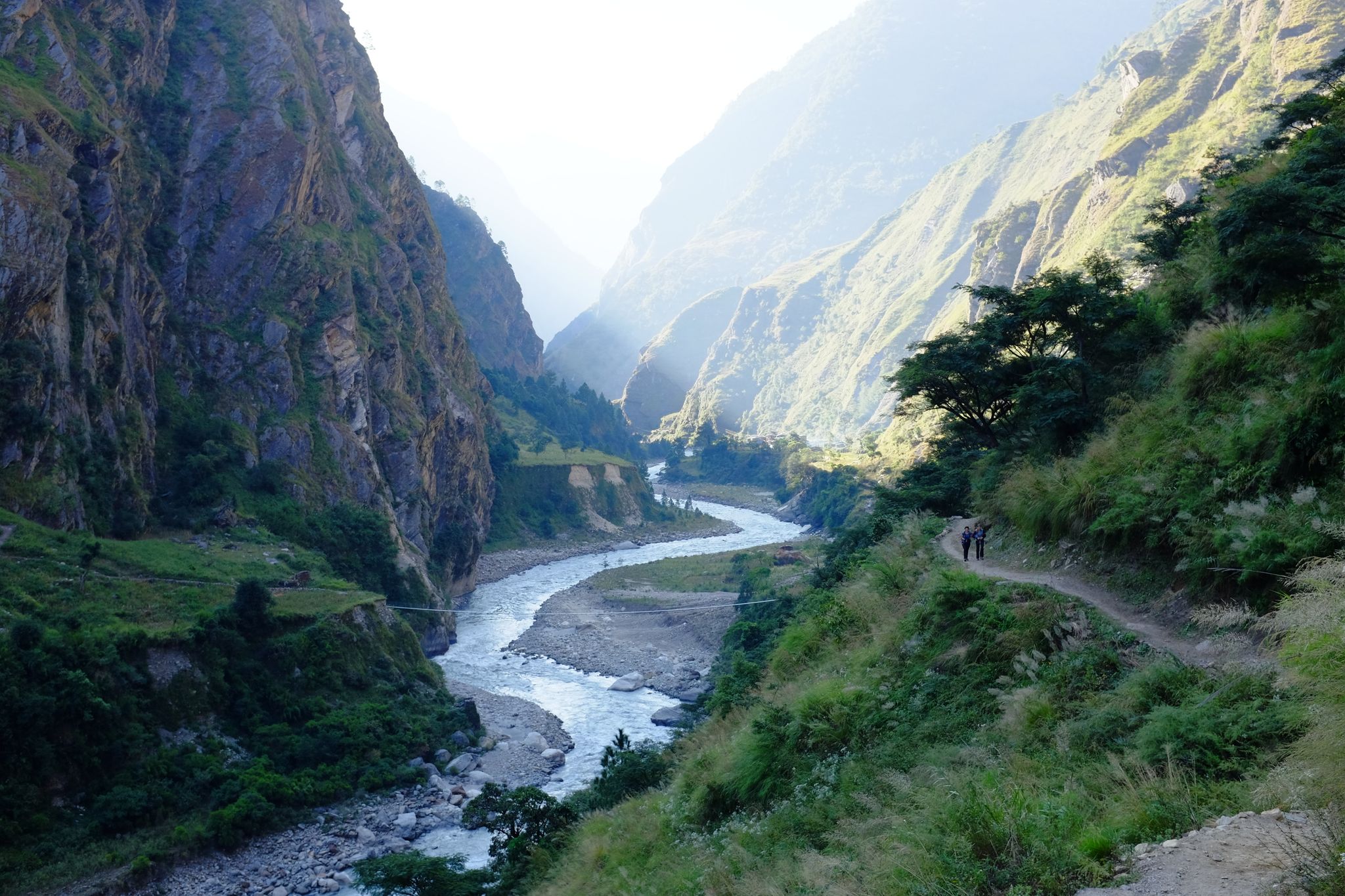
 Low cloud on the Annapurna range. Snow above 3,000 metres is the hazard this week, not rain in the valleys.
The advisories in force
Four agencies issued notices between October 27 and 29. None of them closes the country, and none of them closes trekking as a whole.
- Department of Immigration: no restricted-area trekking permits issued for October 29 to 31. That covers the treks that need those permits, among them Upper Mustang, Manaslu, Tsum Valley, Nar-Phu, Kanchenjunga, Dolpo, and Humla. Trekkers already inside restricted areas were told to stay where they are.
- National Disaster Risk Reduction and Management Authority: tourists should avoid high-hill and Himalayan areas from Thursday to Saturday, non-essential travel should wait, and road and air services may be disrupted. Trekkers already in the mountains should remain in safe locations for the three days.
- Annapurna Conservation Area Project: postpone trekking above 3,000 metres until conditions improve. The notice names Annapurna Base Camp, the Annapurna Circuit, Mardi Himal, the Maurice Herzog Trail, and Upper Mustang, and it stays in effect until ACAP lifts it.
- Department of Tourism: avoid the high Himalaya from October 28 to November 1, and health facilities serving the Khumbu and Manang were asked to keep altitude-sickness treatment ready.
Why Nepal reacts hard to a late-October cyclone
The caution has a history. On October 14, 2014, the remnants of Cyclone Hudhud put a blizzard on Thorong La at the height of the season and 43 people died on and around the Annapurna Circuit, most of them trekkers and their crews caught on the pass. Twelve months ago, Cyclone Montha grounded Lukla flights for three days at the end of October 2025 and left thousands of Everest trekkers stuck in Lukla and Manthali. A weakened system still carries the two things that kill in the Himalaya: fresh snow on a high pass, and people who feel pressure to keep to a schedule.
What it means for your trip
In Kathmandu, Pokhara, or Chitwan: two wet days, then a cold snap. Sightseeing carries on; carry a shell and a warm layer, and expect domestic flights to run late. Tihar on November 7 to 11 is unaffected, and the Nepal Premier League is still playing in Kirtipur between showers; see our NPL match-day guide.
About to start a trek: wait for Sunday. Agencies are reshuffling departures and most will push a day or two. Before you walk, ask one question: how much snow fell on the pass? On routes with a crossing above 5,000 metres, among them Thorong La on the Annapurna Circuit, Larke on Manaslu, and the Cho La, Renjo La, and Kongma La of the Three Passes, the first 24 to 48 hours of sunshine after a storm are the most dangerous, because that is when avalanches release and when people try to cross before anyone has broken the trail. Let the lodge owners and guides at the last village before the pass set the timing, not your flight date.
Already on a trek: stay in the lodge. It is the safe place, it has food and a stove, and the storm will pass. Do not attempt a pass to stay on schedule. Keep your phone charged, tell your agency and someone at home where you are, and watch for altitude sickness, which gets worse when people sit still in the cold at height; if symptoms appear, go down as soon as the weather allows, not up.
Flying to Lukla or Jomsom: expect a backlog once the sky clears. Lukla flights go from Manthali in peak season, and a two-day closure takes several days to unwind. Build spare days into the Everest itinerary and do not book an international flight for the day after your planned return. Helicopter shuttles sell out and cost several hundred dollars a seat.
On a low trek: Poon Hill, Australian Camp, Ghandruk, and the Kathmandu Valley rim were never closed. You get mud and rain for two days and then the clearest mountain views of the autumn, with a dusting of snow on the summits. Poon Hill itself can hold snow for a morning at 3,210 metres, so carry proper shoes.
Driving: the Prithvi Highway to Pokhara and the roads to Chitwan handle a wet day without drama, but landslides are possible on the hill sections after sustained rain, so leave early and allow an extra hour.
Numbers that matter this week
- Weather information line: 1155
- Tourist Police: 1144
- Nepal Police: 100
- Nepal Tourism Board tourist line and other contacts: see the help center
The Rasuwa flood update from August is a separate event; the Langtang and Manaslu corridors reopened in late October and the current advisories apply to them like everywhere else above 3,000 metres.
What happens next
Sunday is expected to be clear and cold. If you have days in hand, the week of November 2 could be some of the best trekking weather of the year, with washed air and new snow on the peaks. If you are tight on time, move your trek down rather than up: a lower walk this week beats a high pass crossed too early. We will add dated updates at the top of this page while the advisories remain in force.