For centuries, reaching Muktinath meant weeks of walking. Today the temple of liberation sits at the end of a road, and the pilgrimage that once required a trekking permit and strong legs can be done by jeep - which is exactly why it now draws hundreds of thousands of pilgrims a year, above all from India. The road changes the logistics, not the destination: a 3,800-metre shrine where fire burns beside water and two religions share one courtyard.
What Muktinath actually is
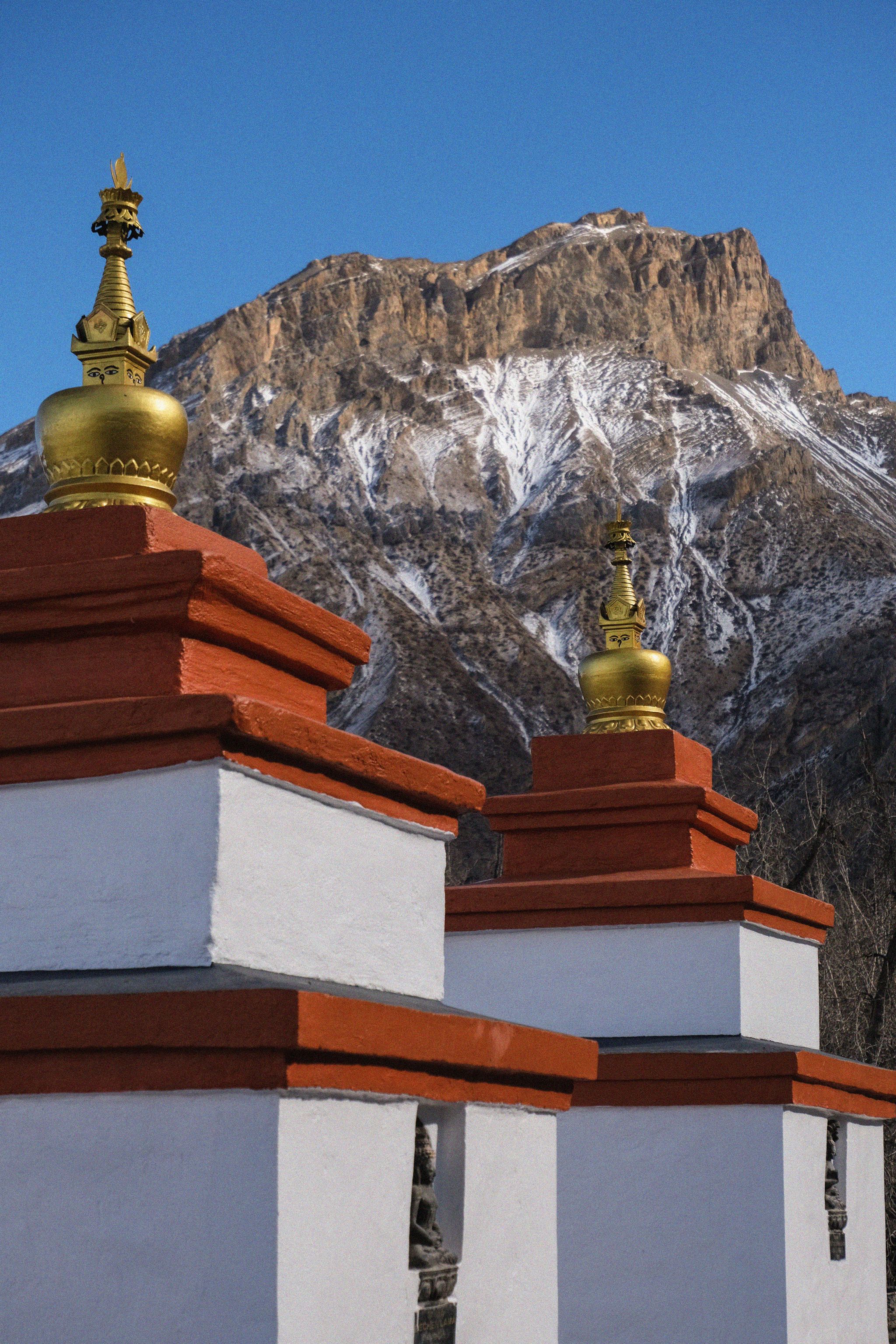
The temple complex stands on a shelf below the Thorong La pass, looking out over the upper Kali Gandaki valley. For Hindus this is Mukti Kshetra, the place of moksha, among the holiest Vishnu shrines in the Himalaya; the pagoda temple houses Shri Muktinath, and the courtyard behind it carries 108 brass waterspouts shaped as bull heads, fed by glacial spring water. Pilgrims walk the line of spouts, letting each stream strike their head or hands, then take the two icy ponds below - a bathing sequence held to wash away sins.
For Buddhists the same ground is Chumig Gyatsa ("hundred waters"), sacred to Guru Rinpoche, and its wonder sits in the Jwala Mai temple nearby: a natural gas flame that has burned as long as records exist, flickering beside a running spring. Fire from earth, water from ice, in one shrine. Nuns of the local Buddhist community tend the complex; Hindu priests serve the main temple. The sharing is the point, and it is old.
The valley below adds a third layer: the Kali Gandaki's black shaligram stones - ammonite fossils revered as forms of Vishnu - are gathered from its riverbed, and stalls in Ranipauwa and Jomsom sell them alongside rudraksha and coral.
Route one: fly to Jomsom, drive up
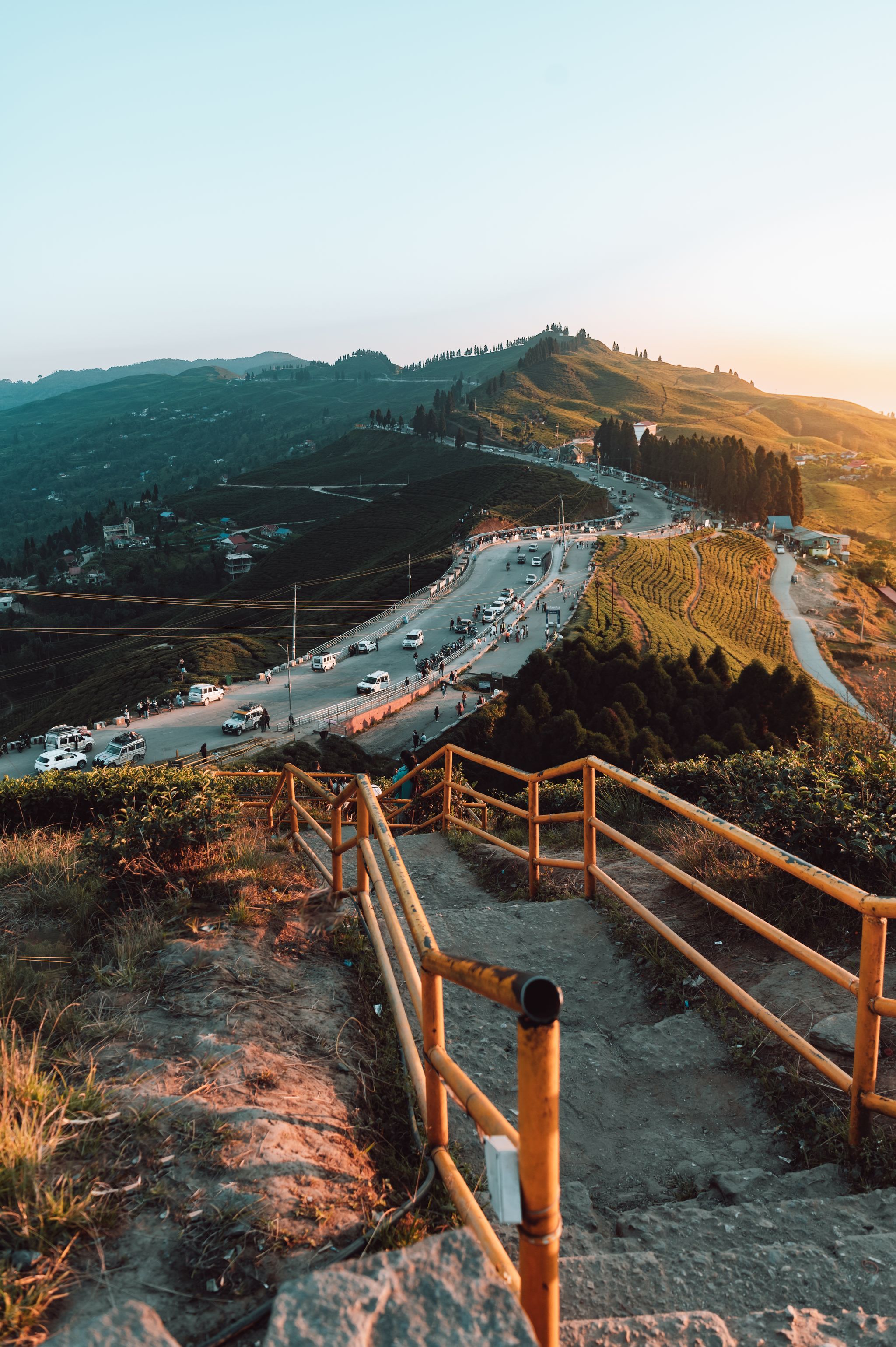
The standard modern yatra: Kathmandu → Pokhara (25-minute flight or tourist bus), overnight in Pokhara, then the dawn Pokhara → Jomsom flight - twenty minutes threading the world's deepest valley between Dhaulagiri and Annapurna, flown only in the calm early morning. From Jomsom (2,720 m), shared and private jeeps run the rough road to Ranipauwa, the village below the temple, in 1.5-2 hours. From the jeep stand, the final approach is a 20-30 minute uphill walk; horses and (increasingly) motorbike shuttles carry those who need them.
 The last kilometre: horses carry pilgrims from Ranipauwa up toward the temple gate
Jomsom flights are weather-dependent and morning-only; the valley's famous wind closes the schedule by midday. Build a buffer day into the plan, and book the flight leg early in October-November, when pilgrimage and trekking season overlap.
Route two: overland from Pokhara
The all-road option follows the Kali Gandaki up through Beni, Tatopani, Ghasa, Marpha, and Jomsom - roughly 8-10 hours by jeep when the road behaves, longer when it doesn't. It is rough, occasionally hair-raising, and genuinely spectacular: the road climbs from subtropical gorge to high-altitude desert in a single day, passing the deepest section of the valley with Dhaulagiri and Annapurna above. Public buses and shared jeeps run the route in stages; a private 4WD is the comfortable version. The monsoon is this road's enemy - landslides close sections most years, so verify current conditions before committing, and prefer the flight in summer.
Marpha, an hour below Jomsom, deserves a stop either way: a whitewashed apple-orchard village famous for its brandy and one of the prettiest settlements in Nepal.
The altitude rule, repeated because it matters
Muktinath's accessibility is its hazard. At 3,800 m, arriving directly from Pokhara (820 m) in a day puts many visitors - especially older pilgrims on tight yatra schedules - into altitude sickness at the temple gates. The fix costs one day: sleep at Jomsom, ascend the next morning, walk the final stretch slowly, and treat a worsening headache or breathlessness as the signal to descend. The full pilgrimage-from-India guide covers this and the wider circuit; the same physiology that governs trekkers governs pilgrims.
Practicalities
- Permits: the region sits inside the Annapurna Conservation Area, so foreigners need the ACAP permit (Indian citizens pay a reduced rate); arrangements and current fees change, so verify when booking. Checkpoints at Jomsom do look.
- Where to stay: Ranipauwa has simple pilgrimage hotels; Jomsom and Marpha offer better rooms and food. Winter nights everywhere here are seriously cold.
- Dress and conduct: modest clothing, shoes off at the temple, photography restraint inside shrines, and clockwise movement around the complex. The bathing spouts are genuinely glacial - pilgrims strip to the waist or thin clothes; towels sell in Ranipauwa.
- Money and phones: carry cash from Pokhara; connectivity is decent in Jomsom, patchy above.
- Combining: trekkers cross the Thorong La from Manang and descend directly to the temple - the road has not changed that arrival, still the finest way to earn it (Annapurna Circuit tips).
When to go
October-November brings stable skies, open roads, and the year's biggest pilgrim flow; March-April is the gentler spring window. Winter works for the well-equipped - cold, quiet, occasionally snowbound. The monsoon keeps the temple area surprisingly dry (Mustang sits in the Himalayan rain shadow) but punishes the access road; if you must travel then, fly. The month-by-month guide sets the wider context.
Roads change pilgrimages. What they cannot change is the arrival: the last steps up to the gate at 3,800 m, breath short, the Thorong La wall behind the spires, and the sound of 108 streams of glacier water hitting stone. However you get there, that part is unchanged.